YOUR BROWSER IS OUT-OF-DATE.

We have detected that you are using an outdated browser. Our service may not work properly for you. We recommend upgrading or switching to another browser.


Department of Geodesy and Geoinformatics

Invitation to the 29th Conference SCEgeo 2022

Date: 28.04.2022

This entry may contain inaccurate data.

scegeo_pwr_kgig.png

Dear Colleagues!

We cordially invite you to participate in the 29th International Scientific Conference entitled “Surveying, Civil Engineering and Geoinformation for Sustainable Development - SCEgeo 2022”.

The conference will be held in the hybrid form on June 22-24, 2022 at Wrocław University of Science and Technology (Wrocław, Poland).

The SCEgeo conference is a recurring event attended by scientists, practitioners, and people teaching surveying at non-surveying departments. The prime topic of the SCEgeo conference is the current role of surveying and geoinformation in the economy, engineering, design, implementation, management and monitoring of buildings and other structures from the sustainable development perspective.


The conference received the honorary patronage of:
patronaty.png
  • Voivode of the Lower Silesian Voivodeship,
  • Marshal of the Lower Silesian Voivodeship,
  • Surveyor General of Poland,
  • Mayor of Wrocław, Rector of Wrocław University of Science and Technology,
  • Association of Polish Surveyors,
  • Association of Polish Cartographers,
  • Polish National Agency for Academic Exchange.

The media patronage of the Conference was taken by:

  • geoforum.pl
  • gisplay.pl
  • Przegląd geodezyjny
patronaty_medialne.png

On the first day of the conference, lectures by invited specialists from abroad will be held:

  • Prof. Bülent Bayram, Yildiz Technical University, Turkey
  • Prof. Fabio Remondino, Bruno Kessler Foundation (FBK), Trento, Italy
  • Prof. Chris Rizos, University of New South Wales, Australia
  • Prof. Ake Sivertun, RISE Research Institutes of Sweden

The conference is of an interdisciplinary nature, and its topics include measurement and research, implementation and operational issues in the field of:

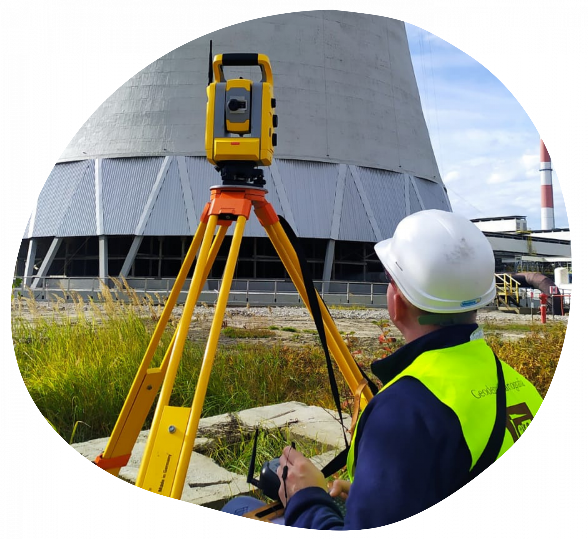
Surveying Engineering

  • Remote sensing
  • Photogrammetry
  • GNSS measurements
  • Laser scanning measurements
  • Geodetic methods for displacement determination
  • Monitoring and control systems in engineering applications
  • Deformation measurements
  • Mining surveying
  • Cadastral surveying
surveying_engineering.png

Geoinformation & Cartography

geoinformation_cartography2.png
  • GIS (design, implementation and applications)
  • Spatial data analysis
  • Machine learning for spatial large data bases
  • Internet of Things
  • Application of IT methods
  • BIM technology
  • Geostatistical methods
  • Cartographic modelling and visualization
  • Cartographic databases

Civil Engineering & Architecture

  • Geotechnics
  • Monitoring of natural hazards
  • Diagnosis of building structure
  • Architectural inventory works
  • Renovation, modernization and reconstruction of building object
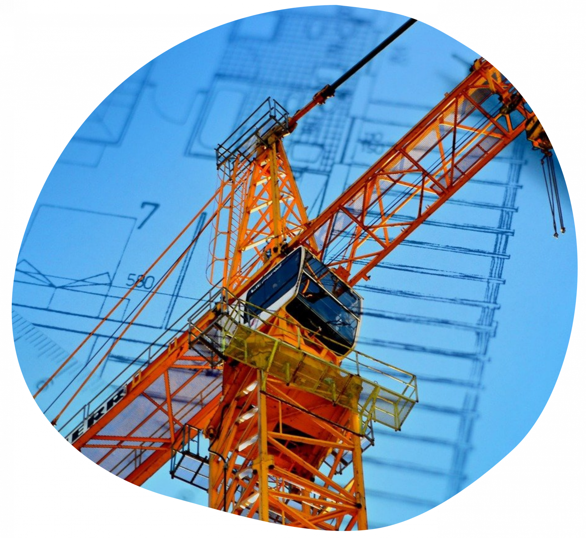
civil_engineering_architecture2.png

Sustainable Development

sustainable_development.png
  • Spatial planning
  • Real estate appraisal
  • Environmental engineering
  • Sustainable use of post-industrial areas
  • Reclamation of degraded areas
  • Environmental damage analysis

During the conference, keynote lectures, workshops and training were planned. Papers prepared for the conference can be published in high-impact journals.


More information: https://scegeo.pwr.edu.pl

Please don't hesitate to contact us: scegeo@pwr.edu.pl

Registration forms: https://scegeo.pwr.edu.pl/registration-form

Follow us on Facebook: https://fb.me/e/1pR1m0PwZ

Politechnika Wrocławska © 2024